Snowy Thanksgiving Weekend?
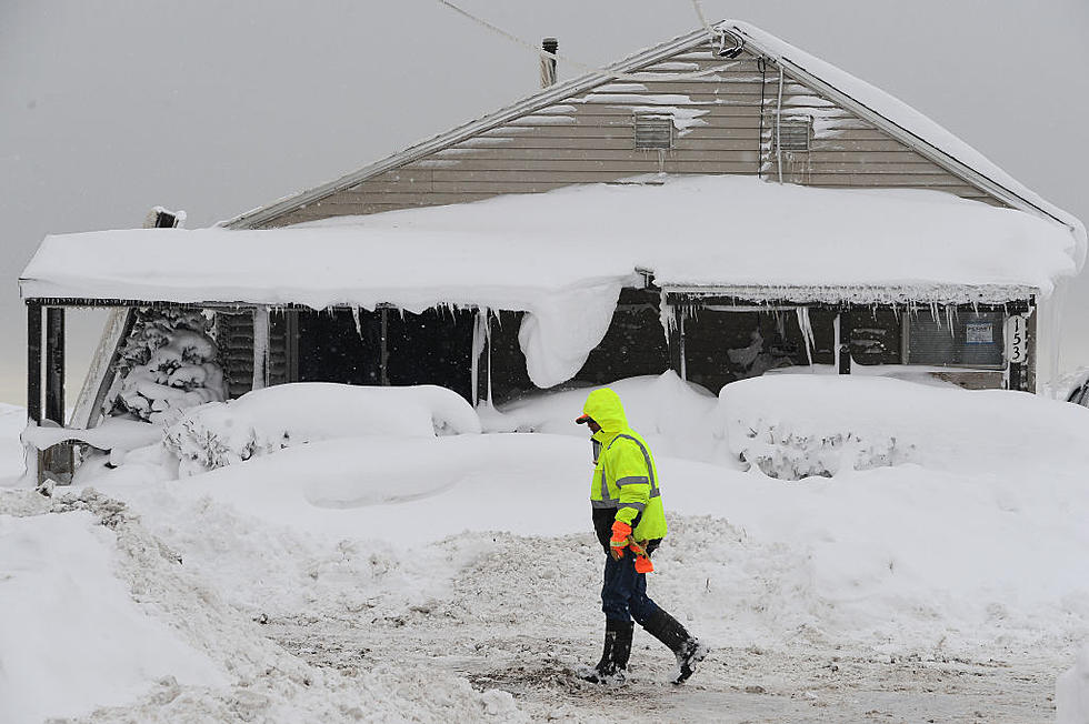
Weather is becoming increasingly unsettled from the West Coast to the Midwest . The overall weather pattern over the continental U.S. is forecast to become increasingly active for the first half of the work week as two major storm systems make weather headlines. The first system will be an amplifying upper level trough over the Rockies and northern plains. It will move northeastward across the central Plains and then the Midwest by Tuesday night. The air mass to the north and west of the low will be cold enough to support a broad swath of significant snowfall, extending from the Colorado Rockies to Wisconsin where winter storm watches and warnings are currently in effect.
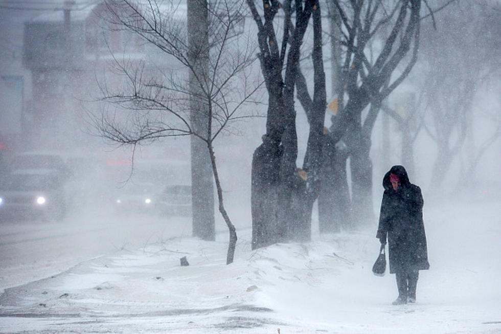
As for Bismarck Mandan you can expect a chance of snow Thursday, Friday & Saturday. Forecasters at this time have not given an exact amount of snow expected for us but there is the chance for significant snowfall potential that could impact your Thanksgiving travel plans. Especially if your traveling South and East.
Stay tuned to US 103-3 or any of our Townsquare stations for further updates.
More From 96.5 The Walleye